June 15 to June 17, 2018
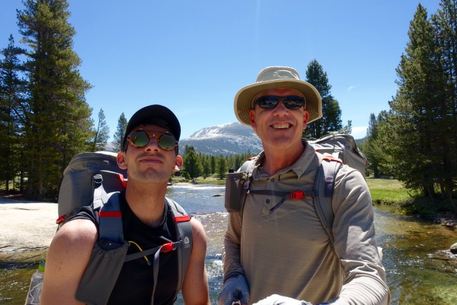
Ever since completing the John Muir Trail last summer, I’ve longed to put the pack back on and trek through the Sierra high country. As soon as the reservation window opened, I’d planned this long weekend in early summer hoping that California would have a “normal” snow year – in contrast to last year’s record snow – in which case odds were that trail would be largely clear. I’d also optimistically reserved a permit for three in hopes that I’d have company, and ultimately I was joined by Hunter who wanted to join the “OG” for a Fathers Day weekend! Some lucky soul got a walk-up permit for the vacated spot.A below average snow year this past winter ensured an essentially snow-free trip, but at high elevations it was evident that snow had just retreated from some of the trails.
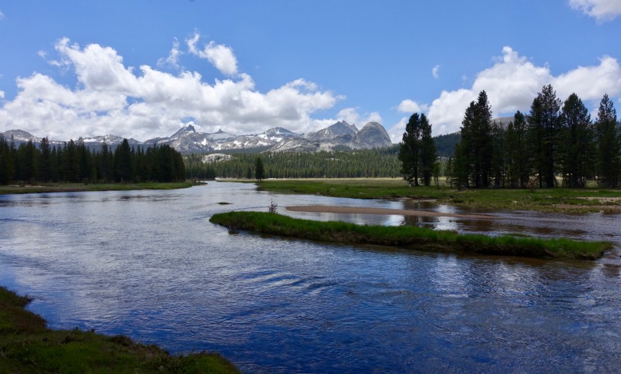
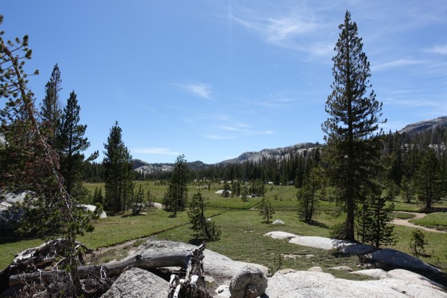
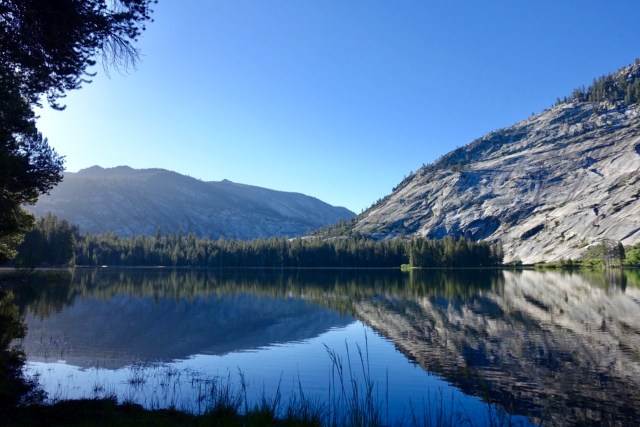
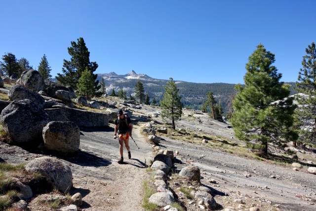
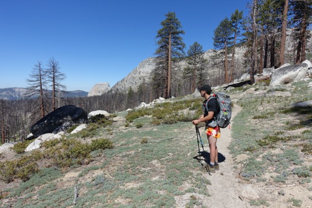
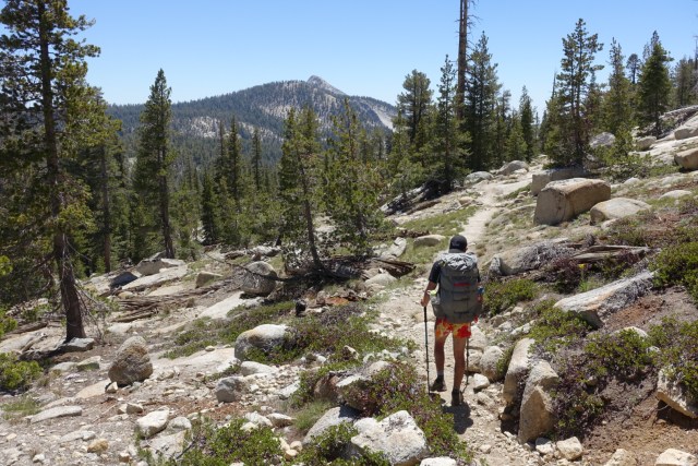
Our plan was to complete the loop of trails connecting Yosemite’s five high Sierra trail camps. These camps are open no more than maybe three months a year, and never opened last year due to record slows and late melt. They are operated by park concessionaires and offer something akin to “glamping” with tents, meals and showers provided. Nothing remotely glamorous from what we saw, but fantastic locations in the high country. Some hikers connect the camps over a week with a stop each night at successive camps. We opted for a long weekend of self-sufficient backpacking over the 49 mile loop.
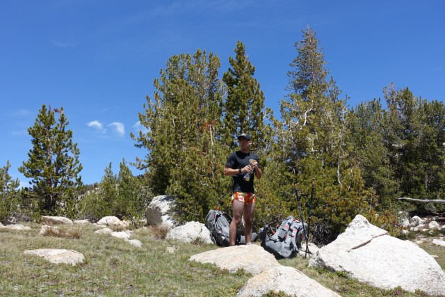
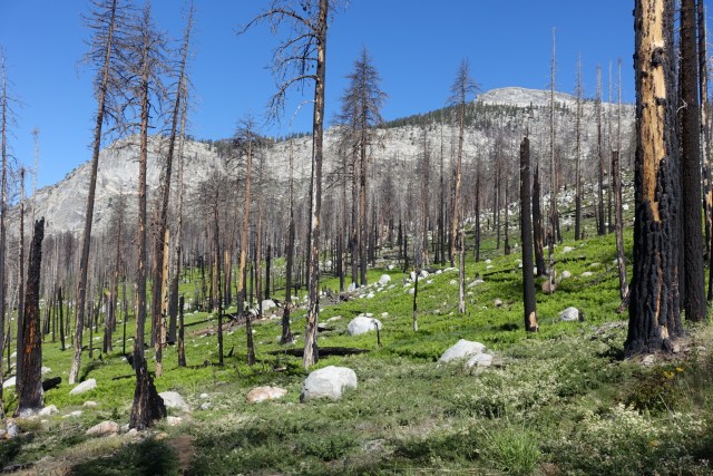
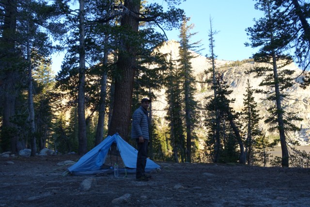
We had a late start around 10:30 am after picking up our permits. Our route took us clockwise around the loop, first heading south from Tuolumne Meadows along the JMT to Rafferty Creek trail over Tuolumne Pass en route to Vogelsang Camp. We then headed onward to Merced Camp via Fletcher Creek trail and set up camp amidst the very quite camp (just us and one other couple). The first day’s mileage was just under 17.

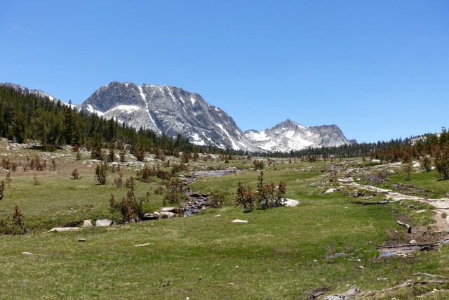
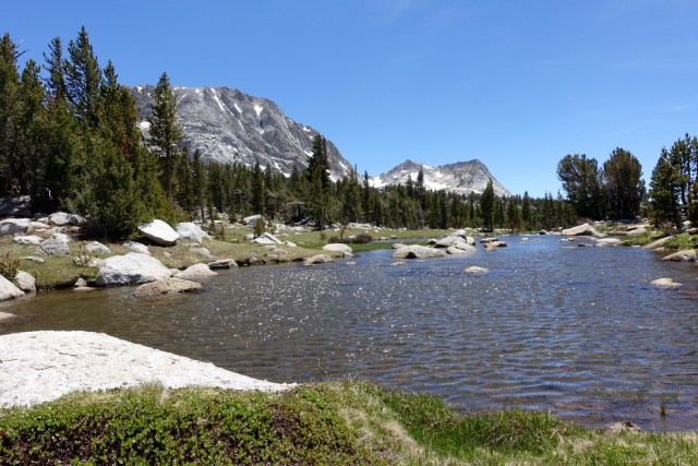


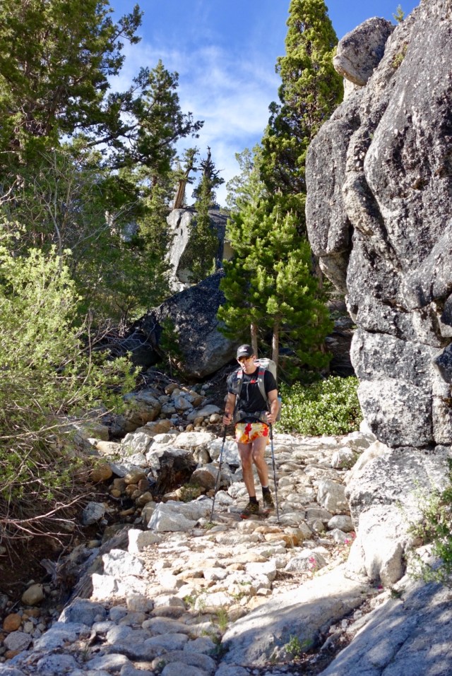
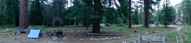
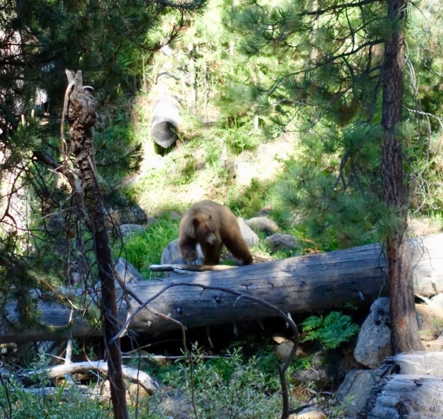
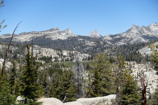
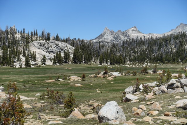
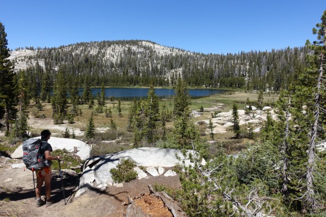
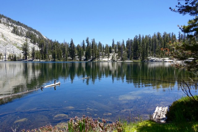
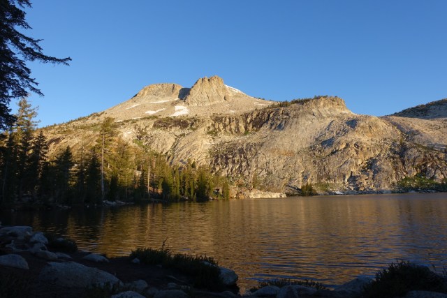
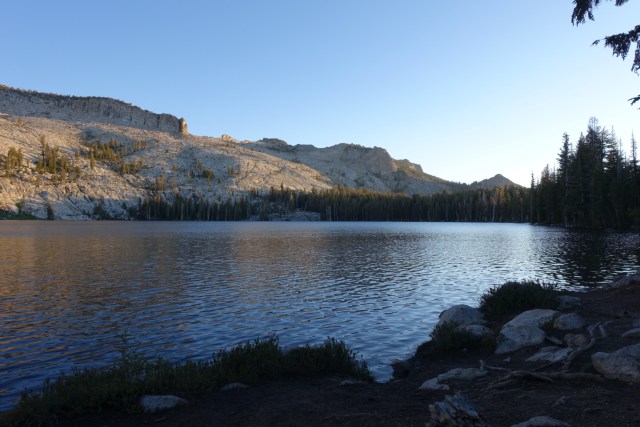
On day two, we headed west to Echo Valley where we watched a bear as we topped up our water in the Merced River. From there we headed northward to join the JMT along Sunrise Creek up to Sunrise Camp, then past Sunrise Lakes to Tenaya Lake. The last leg of the day took us from Tanya Lake up to May Lake Camp where we had considerably more company than the night before (only 1.2 miles from a trailhead), but we still had plenty of space and quite. Day two’s mileage was just over 18.

Day three’s route headed north to Glen Aulin Camp before heading southeast back to Tuolumne Meadows on the PCT, 14 miles for the day and 49 miles for the loop. As we neared the end of our loop, we ran into a couple of guys heading north on the PCT and I compared notes with them on the pass conditions over the JMT section this year to last. Truly envious of anyone doing that awesome trek from Mexico to Canada.
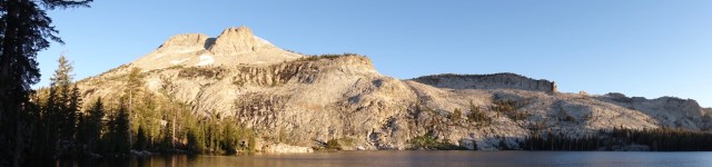
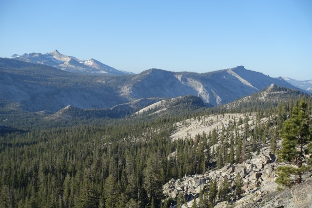
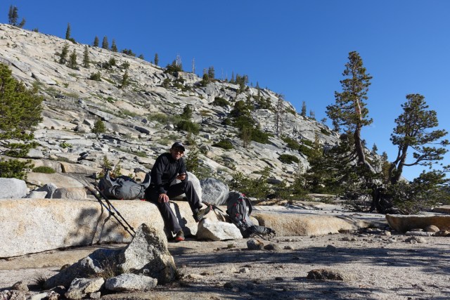
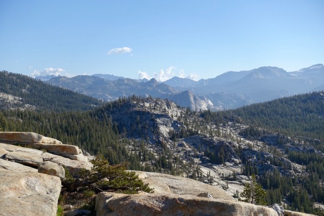
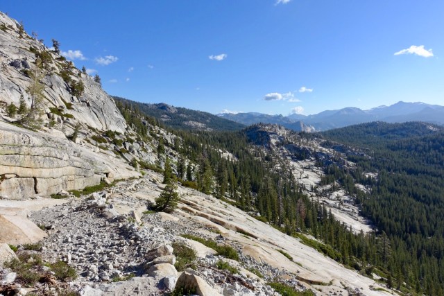
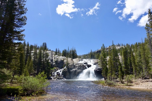

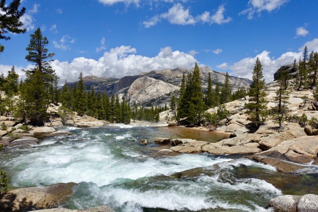
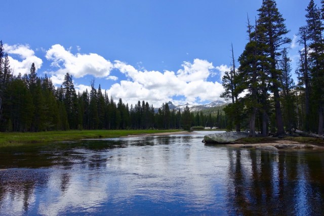
Photo Album
https://photos.app.goo.gl/DxVa8Hqmx6n9nw2t9
