May 12 to May 13, 2018
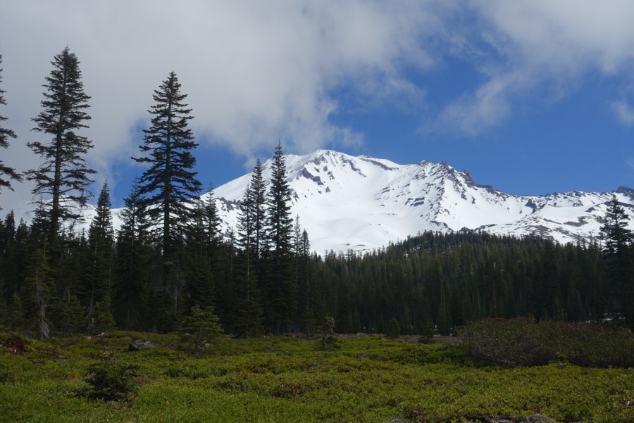
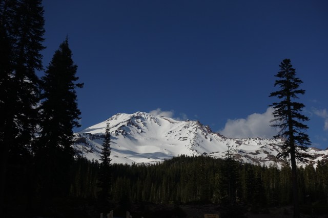
I’ve always wanted to climb mountains mountaineering-style, and finally got started this year with a climb of 14,179′ Mount Shasta. It dominates views across northernmost California, visible from over 100 miles away while driving north through the Central Valley. Hunter joined me for a two-day trek over Mother’s Day weekend. We signed up with SWS Mountain Guides for a guided trip as this was our first time mountaineering. It was just their second spring ascent of the season.
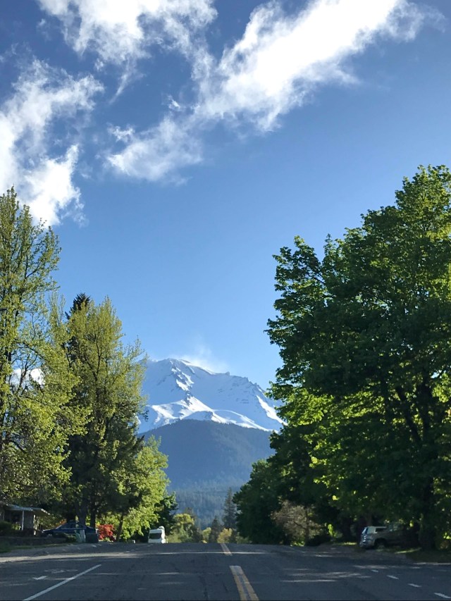
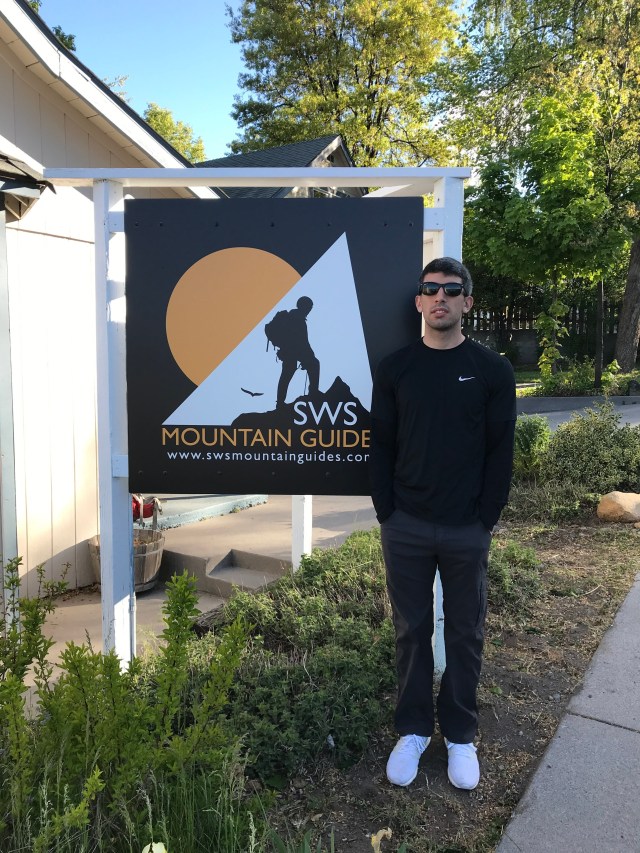
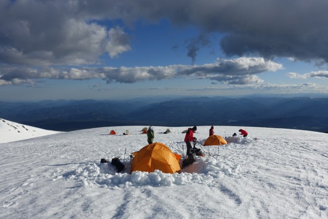
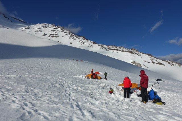
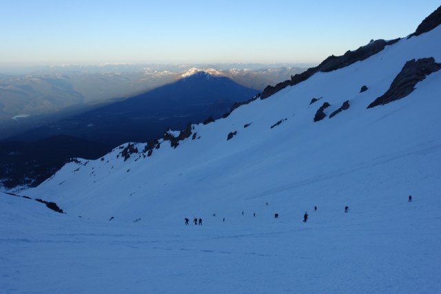
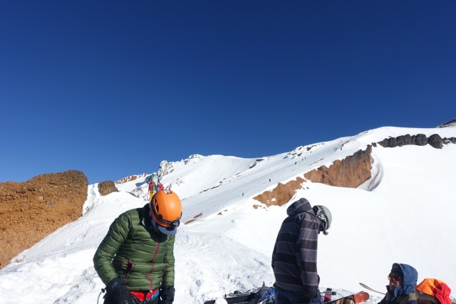
We drove to the town of Mount Shasta on the Friday before where we settled in to the local Best Western and enjoyed dinner and brews at nearby Mount Shasta Brewery. Saturday started early with check-in and gear check at SWS where the road in front of their office headed straight to the mountain. Once settled with gear, and briefings completed, we drove to the trailhead at Bunny Flat at close to 7,000′. Our small group of three clients and two guides struck out late morning to our base camp just below Lake Helen at close to 10,000′ on the Avalanche Gulch route.
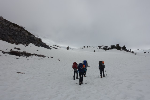
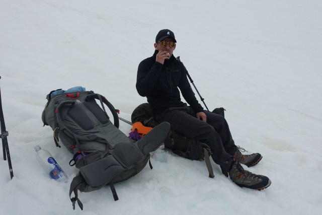
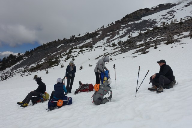
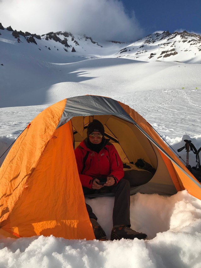
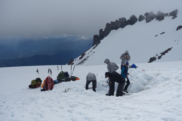
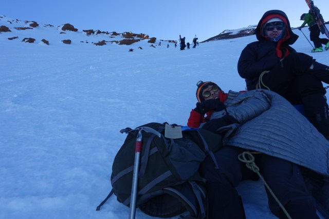
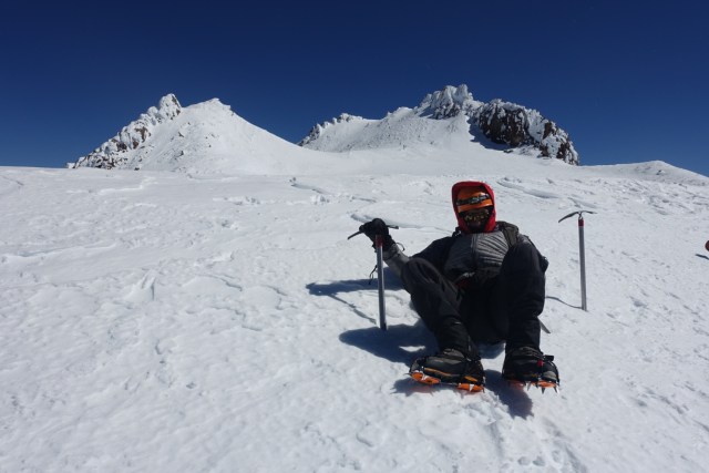
Within a half mile or so we reached the snow line. Our guides had us moving slowly both due to altitude and necessity of limiting sweating as we ascended onto the snowy mountain. Once we reached camp, the first task for Hunter, me and our fellow climber CJ, was digging a flat space for our tent then setting up for the night while our guides set about melting snow for our water. Once set up, we had a lengthy lesson on crampon and ice axe use, and practiced arresting falls. As sunlight faded we finished dinner and tucked in for a short sleep before an early start to the summit.
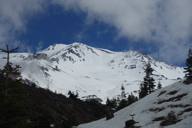
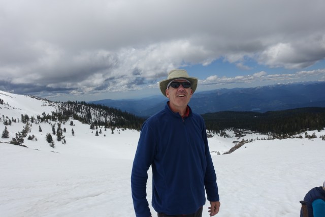
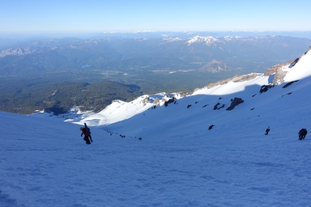
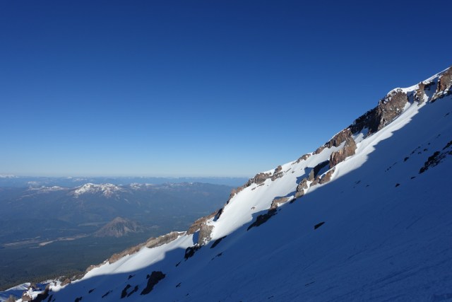
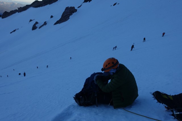
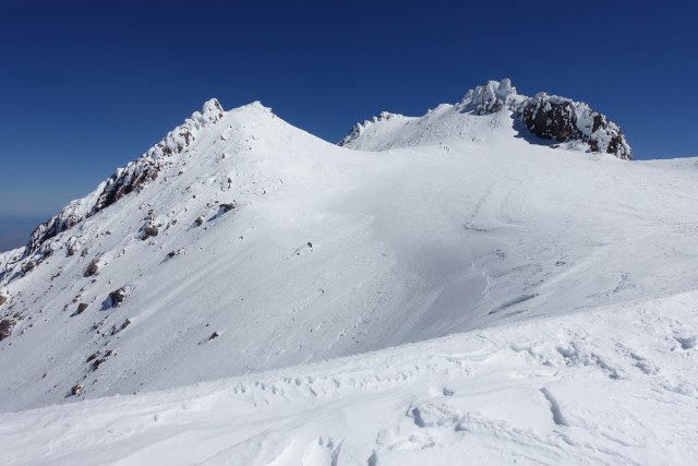
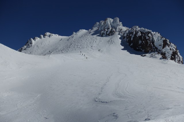
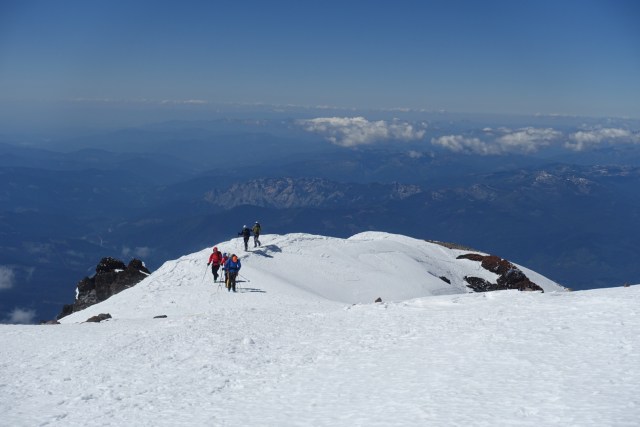
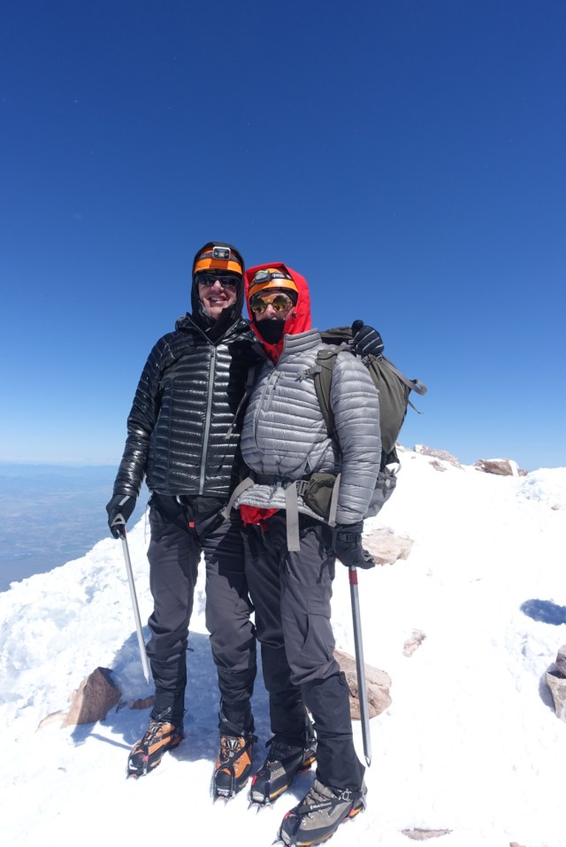
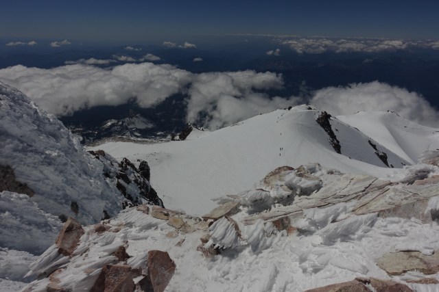
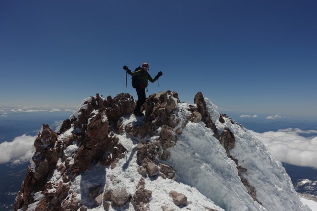
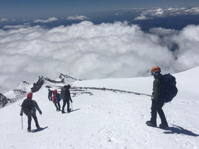
Summit day started at 2 am. Our objective was to summit around 10 am. As the climb steepened, our guides roped us up as we zig-zagged our way up our route illuminated by our headlamps using our ice axes in sync with our steps. We stopped periodically for breaks in what mostly felt incredibly precipitous spots (newbies Hunter and I both agreed later). Once we reached the top of Red Banks, a long row of cliffs visible miles away at the trailhead, we unhooked from the ropes and made our way up the aptly named Misery Hill. Beyond that was the final push to the summit which we made around 10:30 am. The wind near the summit was gusting so hard that we had difficulty walking straight, but with encouragement from our guides we persisted onward and made the final ascent of the summit block.

After pictures and signing the summit log book, the descent all the way to the trailhead awaited us. We retraced our steps part of the way down until we reached snow that had softened sufficiently to glissade which made much quicker work coming down. Hunter took to it quickly, while I was more than a bit nervous trying to control speed by digging into what was often ice beneath the snow we were sliding on.
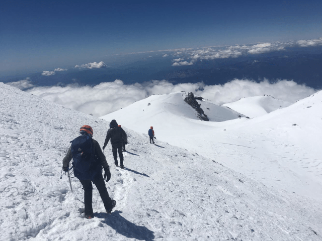
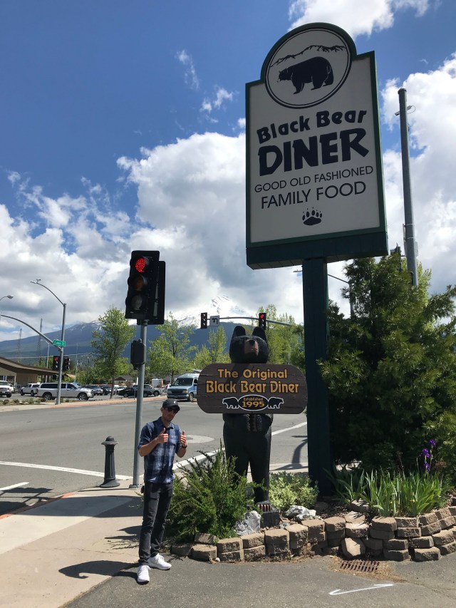
Once we reached our base camp, our task was to pack up the tent and our belongings and make our way back to the trailhead. Snow at this point was very soft and deep so progress was painfully slow as we post-holed much of the way back after leaving the base camp location. We made it back to the trailhead by 5 pm; a total of 15 hours on our feet. After dropping off gear at SWS’s office, Hunter and I checked back into the same Best Western where we crashed early. We slept long before breakfasting at the original Black Bear and then driving home the next day on Monday.
We were totally outside our comfort zone and we learned a ton. And I was surprised how hard the long summit day actually was. In all, incredibly rewarding. After a few days rest, I was (and am) ready for another mountain to climb next spring!
