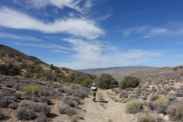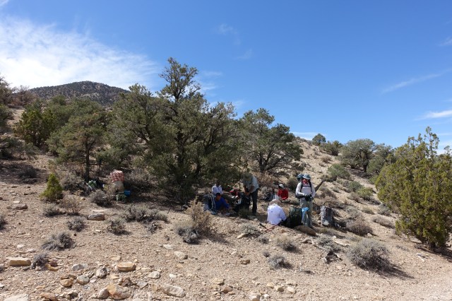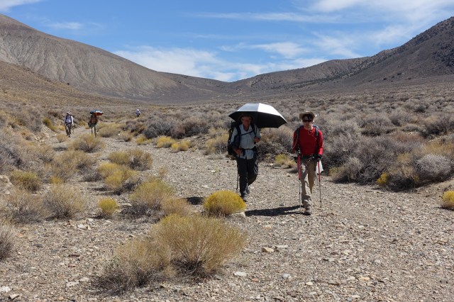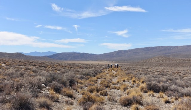
September 24
~12 miles, 2,800’ gain
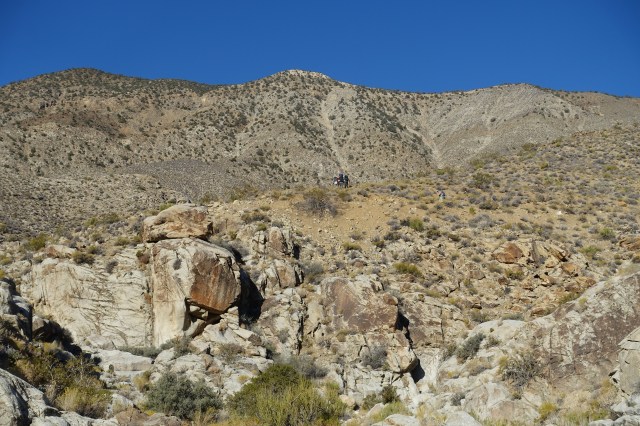
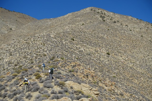
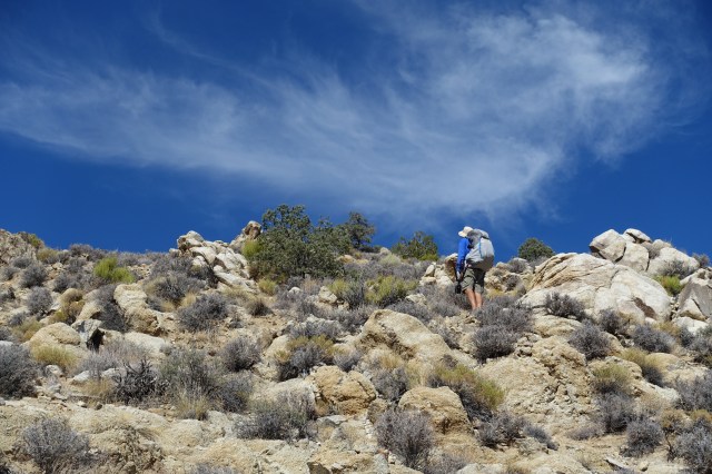
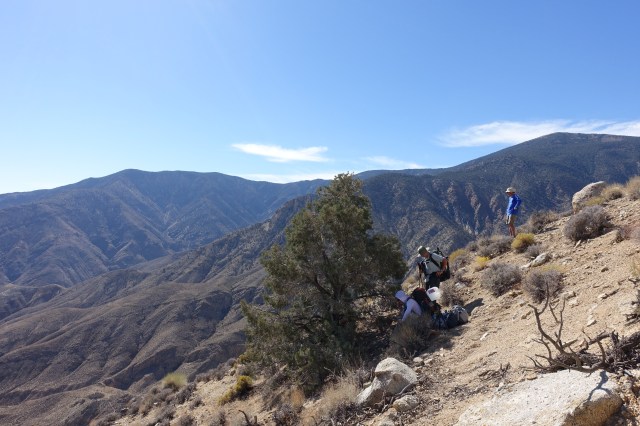
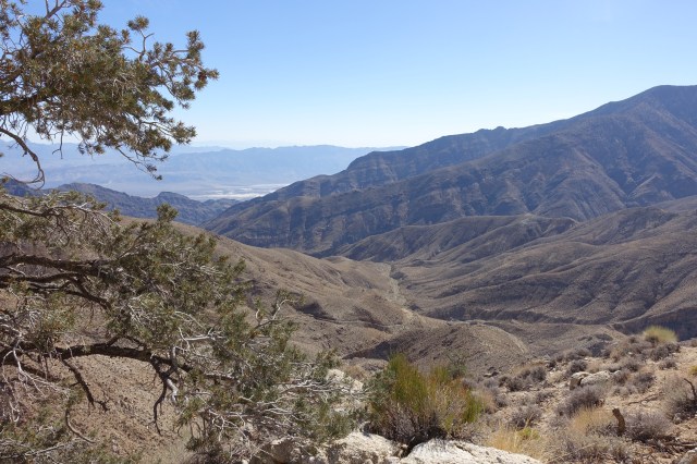
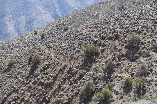
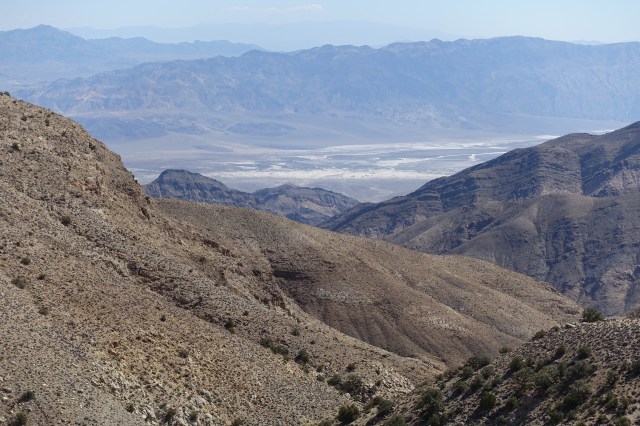
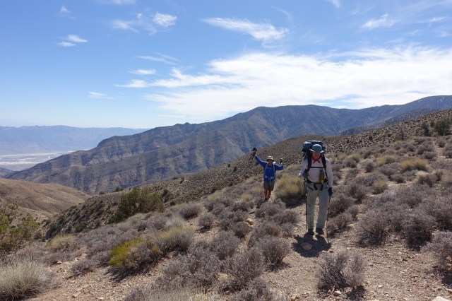
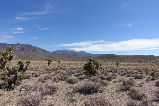
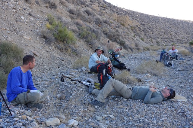
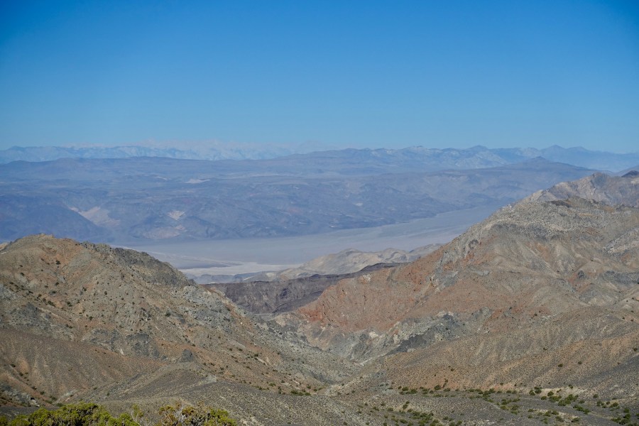
We climbed steeply out of the South Fork of Trail Canyon up a steep, loose slope for a about a mile. Our gradient mellowed quite a bit when we joined a game trail traversing a mountainside on our way to a saddle between Augerbury Point on the north and Wildrose Peak on the south at about 6,000’. This was our last look back at the salt basin before we headed west down Wood Canyon (which lacked much wood past the upper portion) to a water and food drop near White Sage Flat. We also picked up rope and rappelling gear for our slot canyon descent the next day. Despite the stark desert landscape we were about a mile high in elevation. We crossed an alluvial fan through cacti and scrub to a dry stream bed which we followed up into the Central Panamints where we camped among trees, and where it was cold enough for a nice campfire.