October 1
~10 miles, 5,500’ loss
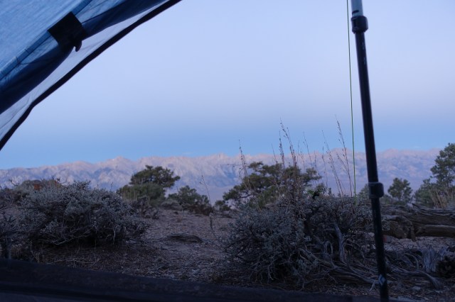
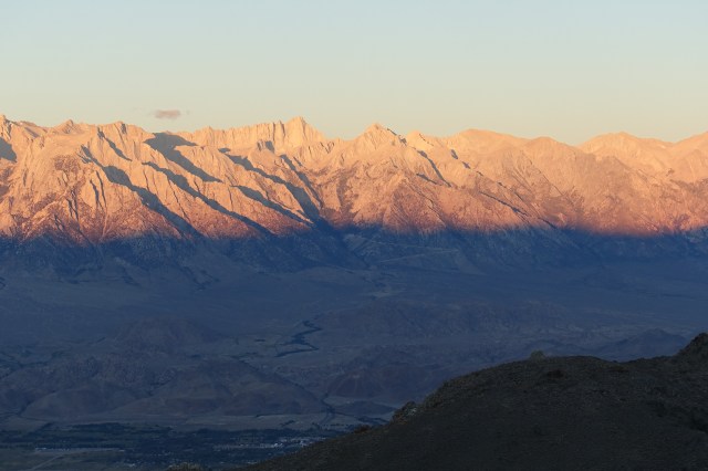
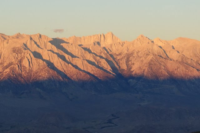
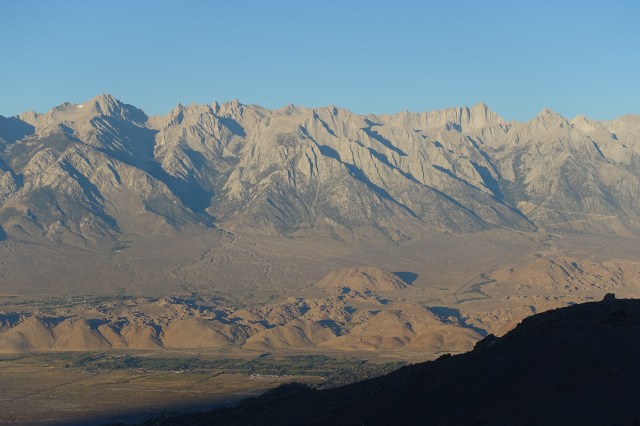
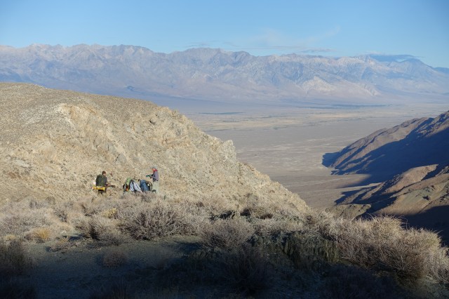
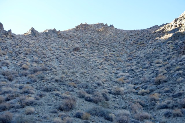
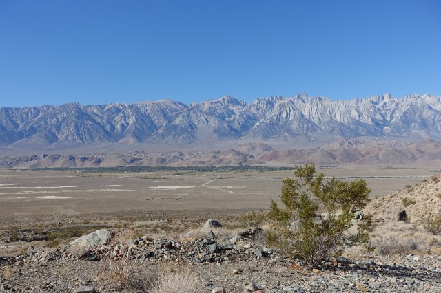
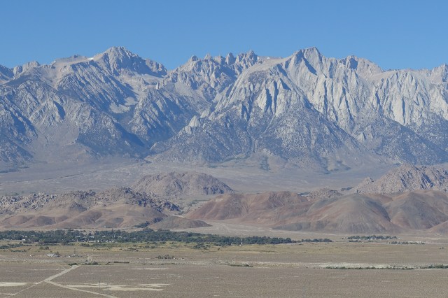
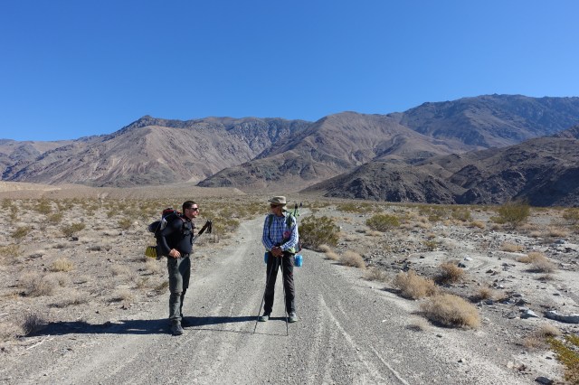
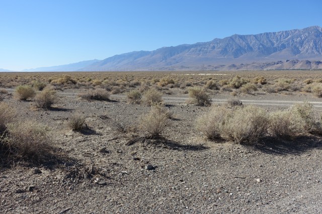
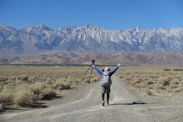
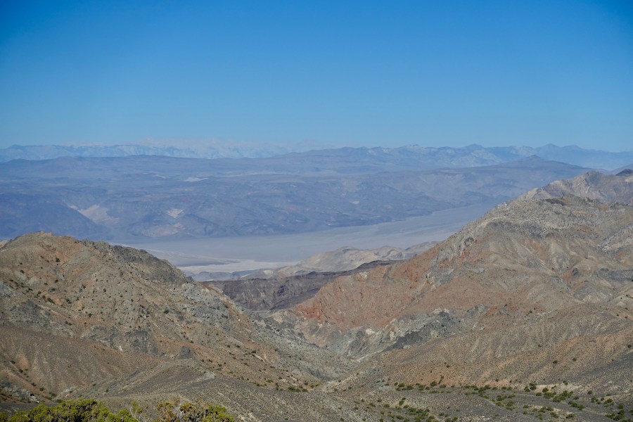
Though a downhill day to Lone Pine, the descent was long, steep and much of it loose, before we eventually reached a dry wash with a more gradual gradient. The full descent of Long John Canyon is 6,500’, 1,500’ deeper than dropping into the Grand Canyon. We got an early start as we were all running low on water, and the town of Lone Pine awaited with abundant refreshment, showers and laundry! Half the day’s mileage was across Owens Valley, and once we crossed the Owens River we soon reached Lone Pine. Our first stop was at an outfitter, Expeditions, where some of us added to our cold weather gear, as dark clouds were gathering over the Sierra, and the forecast indicated snow when we planned to ascend.
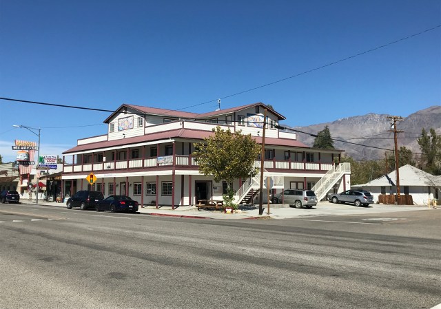
Much of the day was spent cleaning up and resupplying at the hiker hostel where we all shared a bunk room. We also had a nice pizza lunch across the street, and an even nicer dinner, also close by. We celebrated the distance covered so far, and talked game plan for the final days. For various reasons, it was decided that just three of us would target completing the entire planned route. Four of our group, Matt, Urs and our young guys, Brayden and Hunter, would climb into the Sierra as far as the ashram the next day, but would then head back to Lone Pine. Urs ended up securing a day permit to climb Mt Whitney from Whitney Portal on our planned summit day.