
July 1 to July 3, 2017
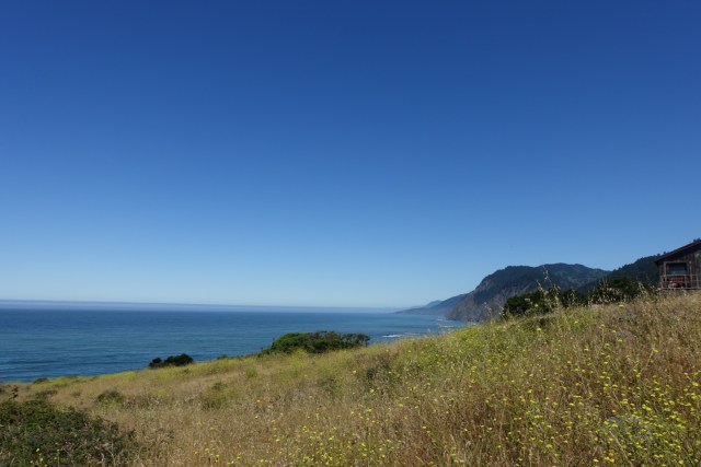
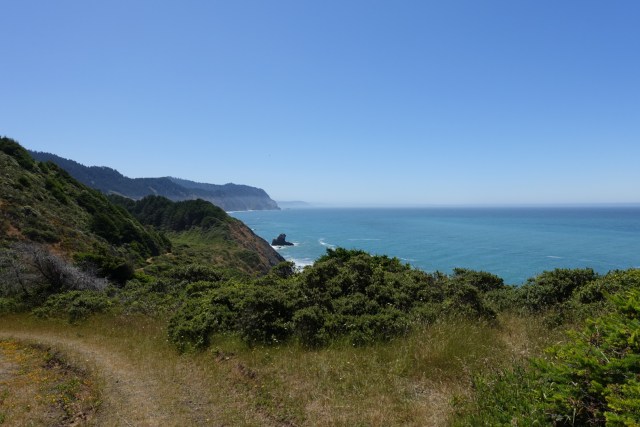
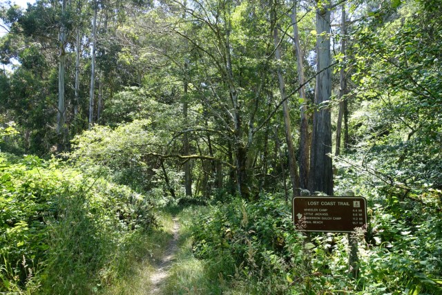
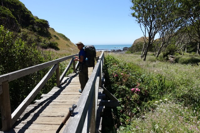
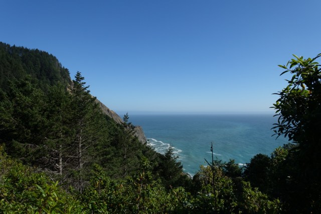
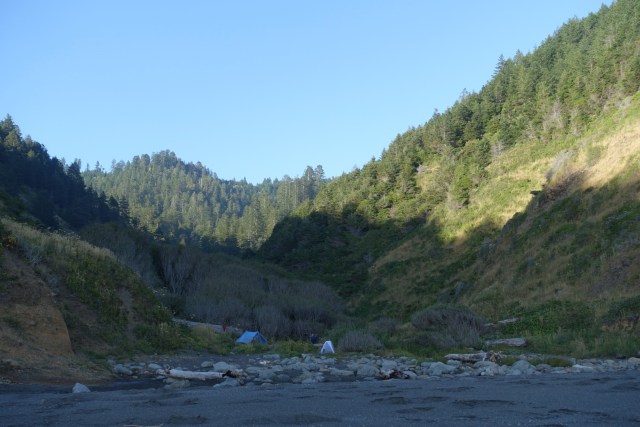
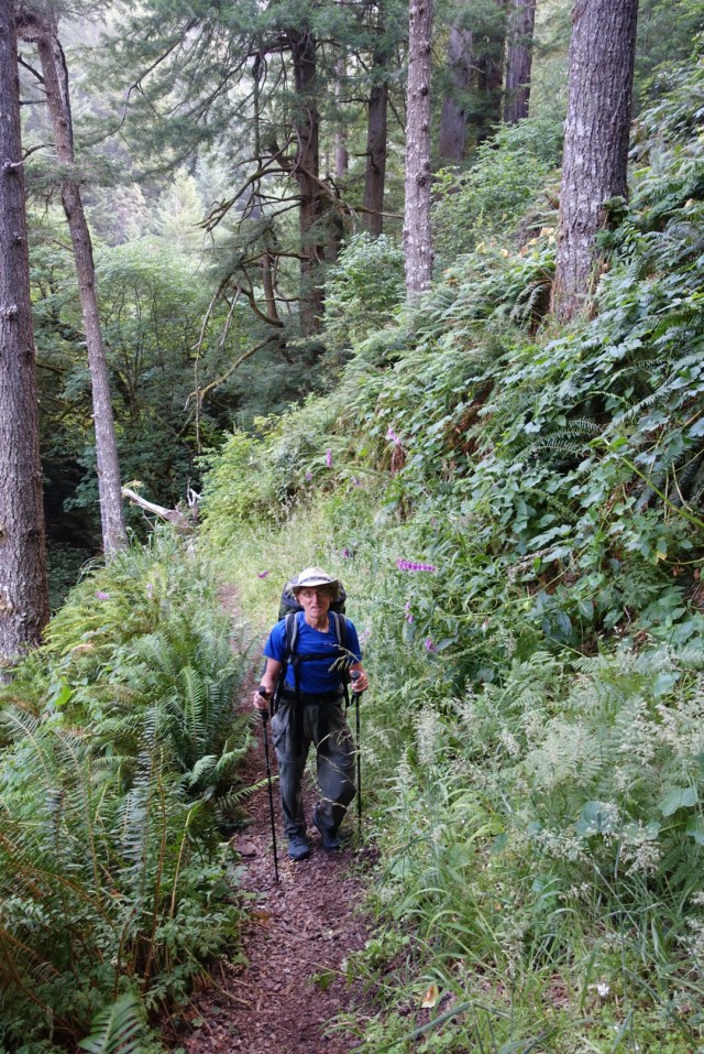
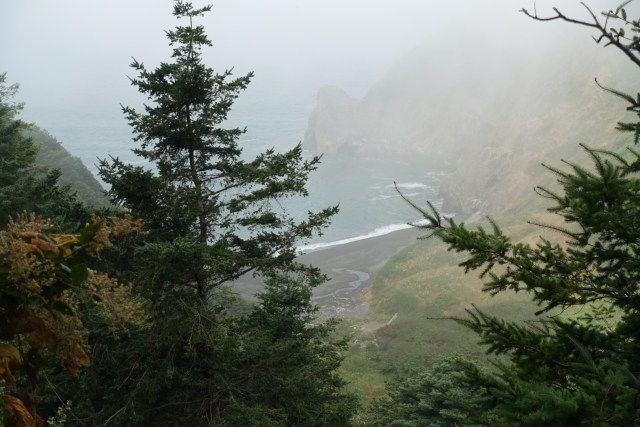
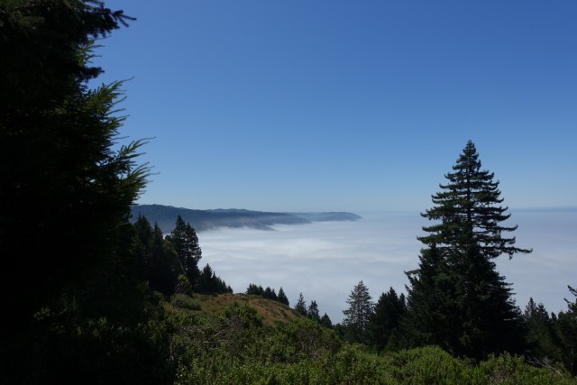
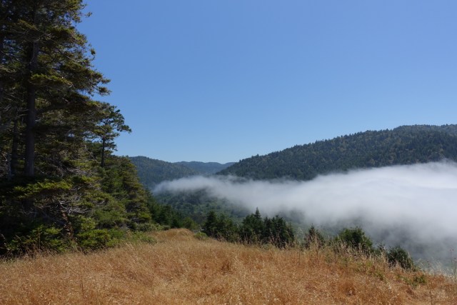
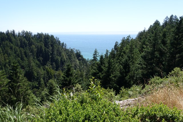
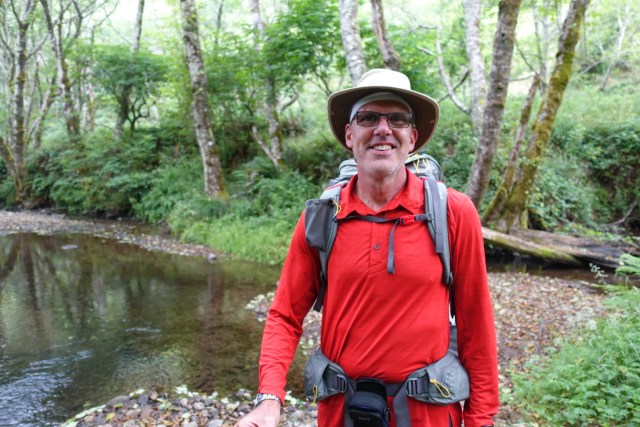
My good friend Ken Reid and I planned to hike through Desolation Wilderness from Echo Lake to Tahoe City over July 4th weekend, but given the high snow still in the Sierra in early July we opted for a snow free trek and settled on the Lost Coast Trail. It’s a “bucket list” hike for many backpackers, located on the coast of northwestern California south of Eureka. It starts at Mattole Beach in Kings Range National Recreation Area, and heads south 52 miles to Usal Campground in Sinkyone Wilderness State Park. The northern section in Kings Range NRA is known for miles of beach walking. The southern section in Sinkyone Wilderness is known for rugged mountainous terrain. Our late change of plans limited us to the mountainous southern section as permits (long ago taken for July) are required for the beach walk section but not for the mountainous section. We did a “lollipop” loop in the Sinkyone Wilderness.
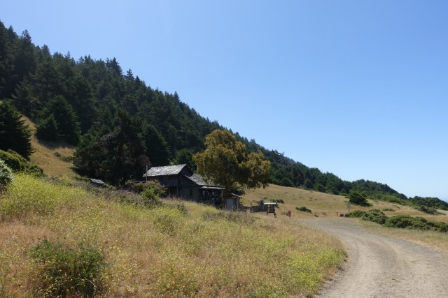
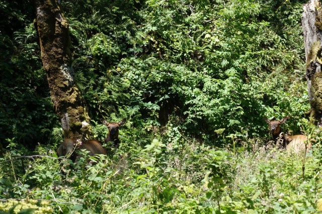
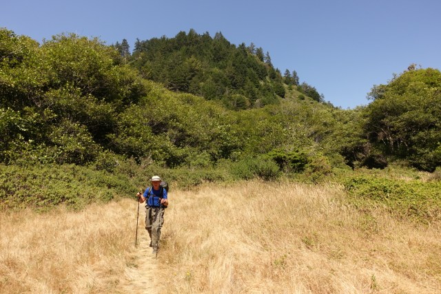
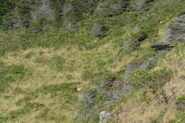
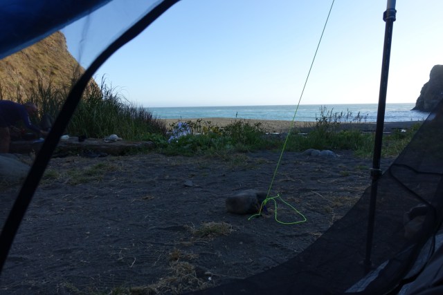
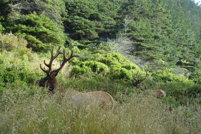
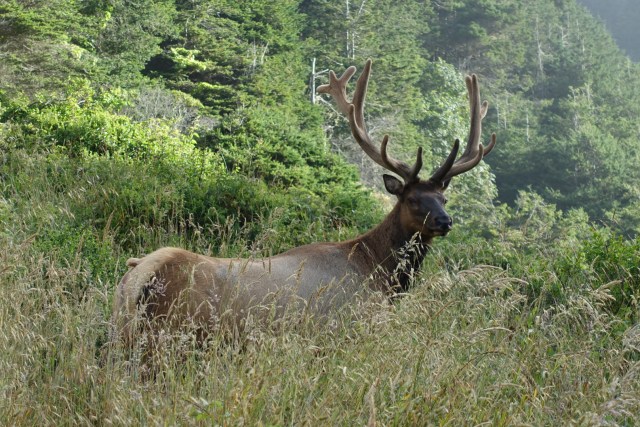
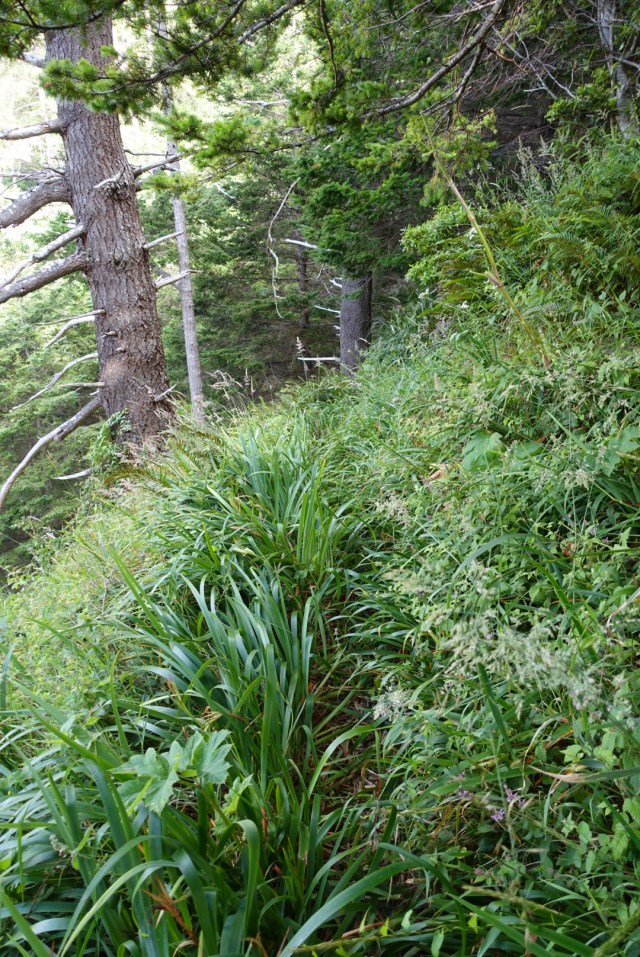
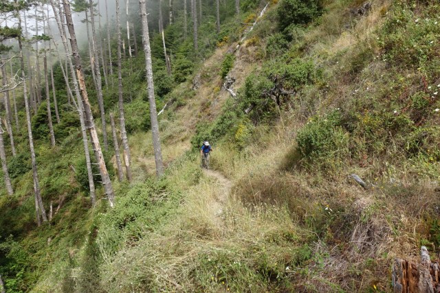
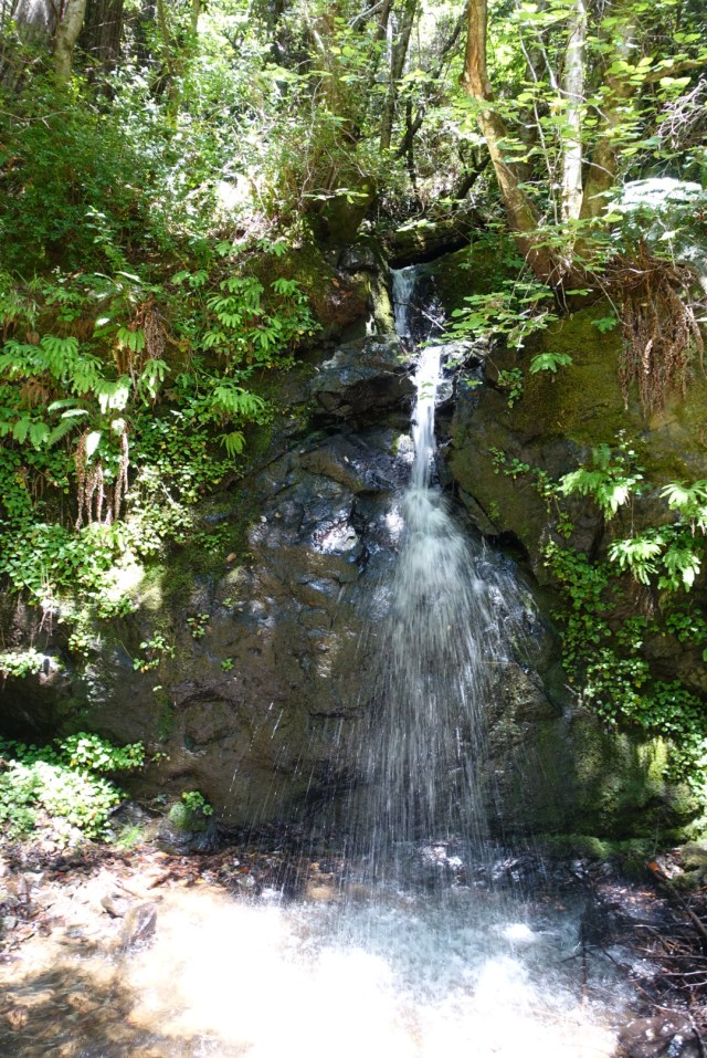
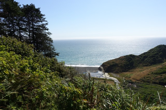
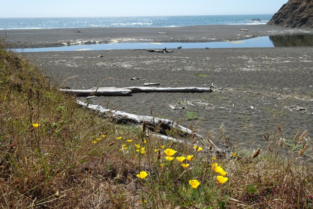
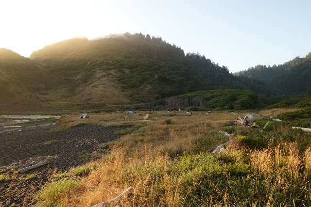
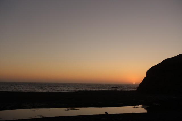
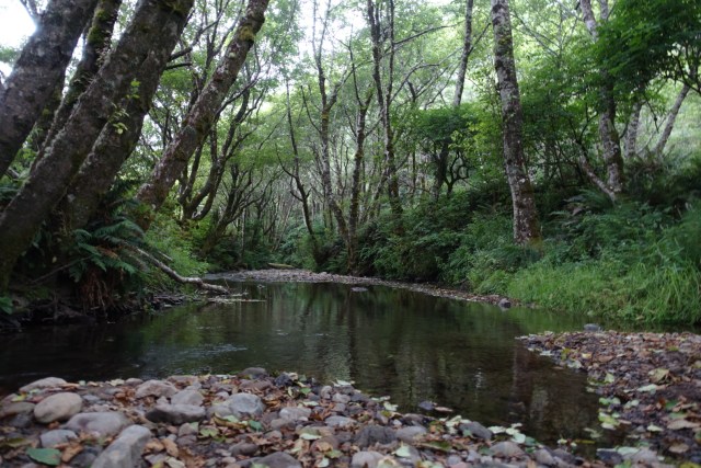
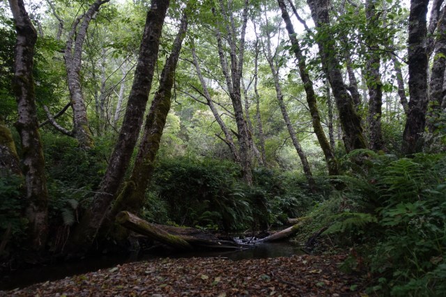
We arrived mid morning on July 1 at Needle Rock visitor center and were pleasantly surprised to find few cars parked. We’d have much of the park to ourselves on July 4th weekend! We made our way south to Little Jackass Creek where we found a remarkable campsite on the beach where we watched Elk graze on the nearby hillsides. Day 2 was a full day on the trail and we made the most of it with about a 20 mile push to Usal along the Lost Coast Trail, then turning back north on the Wheeler Trail back to the Lost Coast Trail at Wheeler Beach. The trail is often overgrown and eroded which makes for slow progress at times, and the trail itself goes up and down markedly crossing several watersheds. The highlight for me was the proximity to several elk each day. Day 3 was a short exit from Wheeler back to Needle Rock, then out to Highway 101 at Redway for a burger and beer at the Great American Hamburger Co.


Park Map & Brochure
Click to access SinkyoneWildernessWeb2016.pdf
